
 | 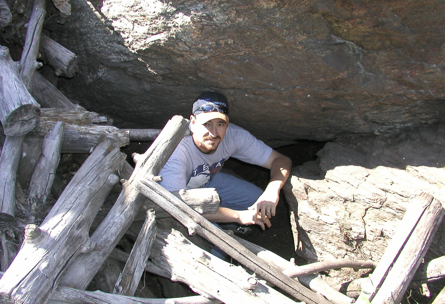 |
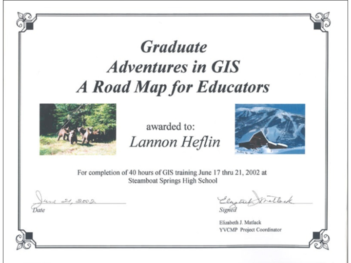
In June, 2002, I was invited to participate in the Adventures in GIS training in Steamboat Springs Colorado. For one week, we scoured the mountains with GPS devices searching for signs of bears and plotting them to be added to an interactive GIS map. The Colorado Division of Wildlife used that map to make decisions that saved the lives of countless bears that would have otherwise wondered into town and caused damage.
Press Release
Press Release
 RSS Feed
